Maps
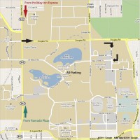
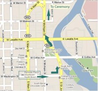
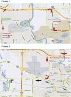
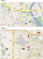
Here are some maps that may be useful for navigating around town. To view larger images and written directions, click on any one of the thumbnails below; once on a page with an individual image, you can click again to get a full-page view in a separate window. If you need or want a buddy for a carpool, be sure to visit the "Lodging and Travel Board" page, and join in the forum!
Notre Dame Campus Map
Parking for the ceremony is available in three places close to the church: the A15 lot, the A9 lot (closest to the church), and along St. Mary's Road. The A15 lot will be the first on the left after passing the firehouse; if you continue driving, you will pass a driveway leading up to the back of the Golden Dome, go around a bend and the A9 lot will be on the left as well. St. Mary's Road will be a little farther yet, but this time on the right. It will take a 2-3 minutes to walk from the A9 lot and 5-6 minutes from A15 and St. Mary's Road.
- A link to the campus map, complete with highlighted buildings and parking lots, can be found here: Notre Dame Campus Map
Maps